Planning a circle route: three dots and a 200 km ceiling
Published Aug 31, 2026 · 7 min read
A day drive lives or dies at the kitchen table the night before, when the shape of the route gets decided.
A day drive lives or dies at the kitchen table the night before, when the shape of the route gets decided. The shape that works — the one this whole notebook is built on — is a circle: out one way, back another, never the same road twice. Here's how we plan one in twenty minutes with a map, three dots and a ceiling of two hundred kilometres.
Why a circle beats an out-and-back
An out-and-back gives you every road twice and the dull sense, all afternoon, of undoing the morning. A circle gives you new road until the moment you park at home, lets you put slow scenic stretches on one side and a quicker return on the other, and — the practical part — means a late lunch doesn't double your remaining distance. The circle doesn't need to be round: a lumpy triangle or a squashed figure-eight counts. What matters is that the arrow on the map never turns around.
The 200-kilometre ceiling
On small roads, the honest average is 50-60 km/h once villages, curves and stops are counted. Two hundred kilometres is therefore about four hours of actual driving — which, wrapped around a bakery stop, a viewpoint, a market and a long lunch, fills a day completely without ever feeling rushed. Routes beyond 250 km turn the day into driving with interruptions; under 120 km it's an errand with a view. Aim for 160-200 and adjust with experience. The point of the ceiling is that the drive is the destination, so there is nothing to gain by covering more of the map.
Three dots first, roads second. Before touching any road, mark three dots: a morning dot (bakery, café, market — somewhere alive by 9), a middle dot (the view, the lake, the old town — the postcard of the day), and an afternoon dot (somewhere gentle for the last stretch, a riverside or a garden). Then connect the dots with the thinnest roads the map offers. Routes planned roads-first meander pointlessly; routes planned dots-first have a story.
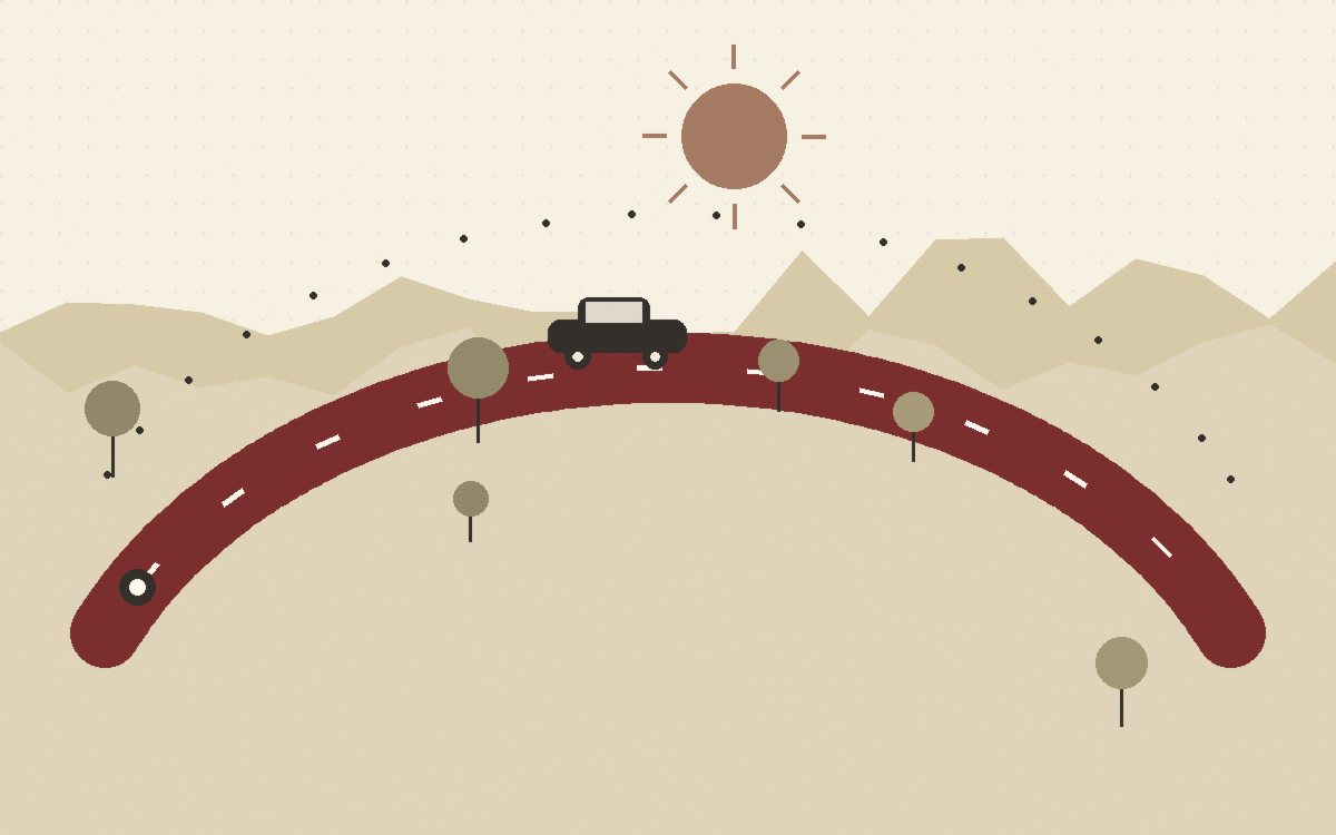
Direction matters: drive the circle clockwise or counter?
Put the sun behind you when it's low: morning legs heading west or north, afternoon legs east or north keep the glare out of your eyes and the light on the scenery. Put the slowest, prettiest stretch in the morning, when everyone's fresh and the villages are waking up; save the straightest leg for the drowsy hour after lunch. And if one section worries you — a mountain stretch, a long unpaved bit — put it early, so there's daylight and patience in reserve.
The escape chord
Every good circle has a chord: a bigger road that cuts across the middle and can take you home in an hour if the weather turns, someone tires, or the car grumbles. Find it while planning and mark it. You will almost never use it, and knowing it's there is what lets the rest of the route stay stubbornly small. A loop without an escape chord tempts you into planning tamer roads "just in case"; the chord absorbs the just-in-case so the loop doesn't have to.
Twenty minutes, start to finish
- Open a map that shows road thickness — paper or app, zoomed to about an hour's radius around home.
- Mark the three dots. If stuck, pick the middle dot first; mornings and afternoons arrange themselves around a good centrepiece.
- Join the dots with thin roads, out one side and back the other. Note the total distance; trim or stretch toward 160-200 km.
- Find the escape chord and the two or three fuel points along the way.
- Write the route on one card — road numbers and dot names, nothing more — and put it in the glovebox (route note 03).
Questions from the kitchen table
I don't know any good "dots" near me.
Nobody does until they look. Search the region's name plus "market day", "viewpoint" or "old town"; ask the map app for bakeries in villages you've never visited; look where the rivers and ridges are, because roads that follow them are usually the good ones. The first circle is a reconnaissance — its stops seed the next three routes.
Should I plan the exact stops and times?
Plan the dots, not the clock. A day drive with a timetable becomes a delivery round. The only two times that matter are the departure (route note 02) and "home before dark"; everything between is allowed to stretch.
What about tolls and big roads on the way out of the city?
Accept up to twenty minutes of dull road to escape the city's gravity — it buys you an earlier start on the good part. The circle proper begins where the lanes drop to two; the urban approach is a corridor, not part of the loop.
Route drawn — now the hour that makes it all work: the golden-hour departure.